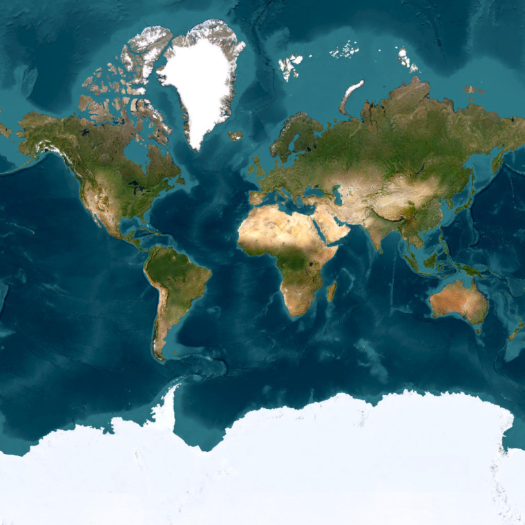
Leveraging advanced mapping techniques and expert sustainability strategies, SWCA is helping clients, mainly international beverage corporations, understand and manage their water systems more effectively. A collaborative approach between SWCA’s Sustainability experts (SMC team) and Geospatial experts (GIS team) has led to SWCA’s first mapping projects in India and Africa.
NEW GEOGRAPHIES CALL FOR CREATIVE SOLUTIONS
On a recent project in western India, SWCA was hired to create a source vulnerability assessment to better understand the client’s facility’s connection to the local watershed. Source vulnerability assessments help clients see where they may be vulnerable to things like receiving contaminated water or the depletion of their current water source. SWCA SMC specialist Peter Penning Jr. brought his sustainability expertise to lead the evaluation. Geospatial scientist, Michael Pitula, supported by creating hydrology maps of the region as a tool to guide the assessment.
Although this is a new geographic region and a new type of project for SWCA’s GIS team, many of the same challenges, strategies, and solutions apply. The client provided basic shapefiles of the facility. However, due to a lack of readily available online data sources to proceed with typical mapping techniques, Pitula needed to employ a creative solution.
“Oftentimes, we can find the online data needed to create comprehensive water resource maps. In this instance, there was no data available online for the region, so we needed to rely on an ‘old-school’ technique to deliver the same high-quality product,” said Pitula.
Enter georeferencing. This entails taking a static image file like a PDF or a JPEG (of regional groundwater hydrology and geology sourced from literature imagery, in this instance), and placing it in the correct location on the globe by matching up known monuments and reference points that appear on both the image and the basemap. The imagery can then be manipulated as an overlay, provided with a new legend, and used to illustrate water conditions underground.
“Sometimes GIS is constrained by a lack of data availability in different areas. But that doesn’t mean we can’t still do really cool GIS,” said Anne Russell, Principal Geospatial Sciences Program Lead, who oversees these projects. “It just means we have to actually create data for projects before we can use it.”
After referencing regional hydrogeology on to the map, Pitula added geographic state and district boundaries to contextualize it. Though administrative boundaries differ from those of the United States, Pitula was able to apply SWCA Blue Standards symbology to maintain a consistent layout and symbology to make the maps more reader friendly.
Despite data, time, and budget constraints on the project, Pitula managed to push boundaries and add value to the end product.
“It was a fun and interesting opportunity to work on a different type of project in a new geography,” Pitula said. “There was some detective work in pulling these layers together and then thinking through how we could conform these maps to SWCA standards in a completely different context.”
UTILIZING MAPS FOR DATA-DRIVEN SUSTAINABILITY SOLUTIONS
Penning Jr. was able to use these hydrology maps in the source vulnerability assessment to help show the client the complexity of the local water system around their facility and their interaction with it – where they are currently sourcing their water, how secure that water source will be in the future, their risks of receiving contaminated water, and their impact (or lack of impact) on the surrounding water resources.
Maps are only one of the tools used by SWCA’s SMC team to showcase a big picture view of clients’ operations. The data helps inform and guide the SMC team towards providing clients with expert sustainability solutions related to their water usage.
“When we work with clients to create these source vulnerability assessments, our strategy is quite high level and quite long term – we use mapping and satellites to guide the solutions we propose and give them credibility based on data,” said Penning Jr.
COLLABORATIVE PARTNERSHIPS AND GLOBAL IMPACTS
This project in India is one of over 15 projects related to water impacts that SWCA’s GIS and SMC groups have completed together, establishing SWCA’s presence and expertise in new geographic markets including Uganda, Namibia, South Africa, Curaçao, and now western India.
“Collaboration with the GIS team equips us with more of the mapping expertise and capacity needed to deliver sound science and creative sustainability solutions to our clients on an international scale,” said Penning Jr.
“In the last year, we’ve been able to build a relationship with our SMC group that has led us to work together on impactful projects all over the globe. It is a testament to the power of #OneSWCA,” said Marcel Browne, GIS Team Lead.
 Esri, USGS | Esri, TomTom, FAO, NOAA, USGS | Earthstar Geographics