
2025
Comparably’s Best Company Outlook
* Providing engineering services in these locations through SWCA Environmental Consulting & Engineering, Inc., an affiliate of SWCA.

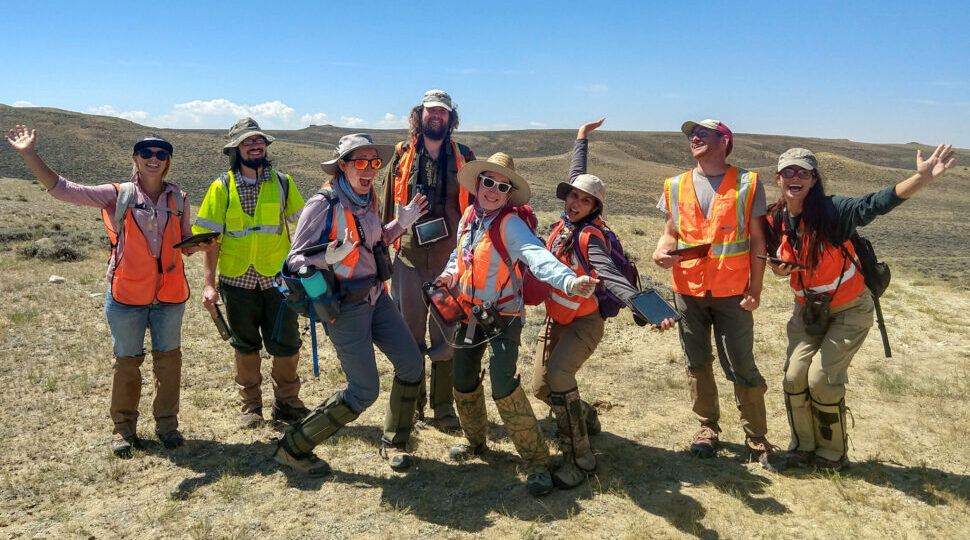
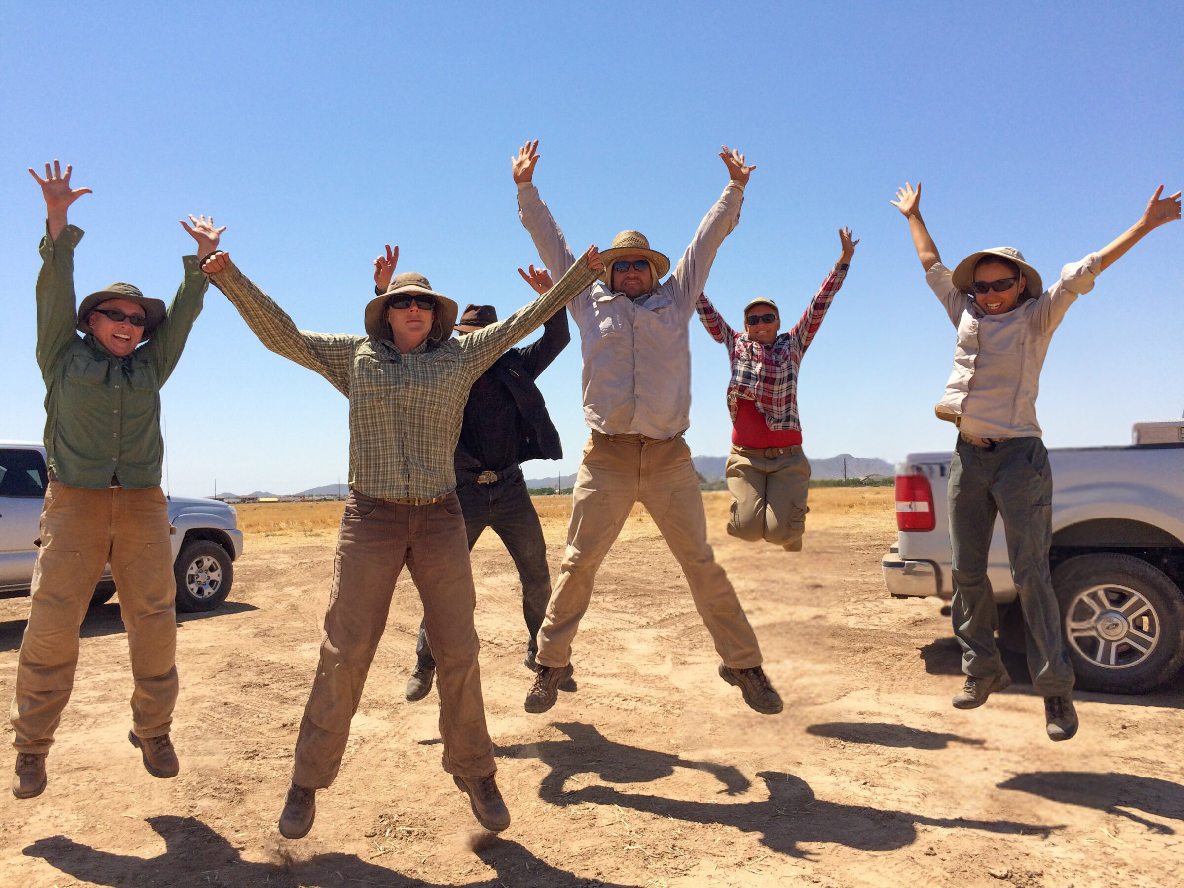
From the experts we hire, to the clients we partner with, our greatest opportunity for success lies in our ability to bring the best team together for every project.
That’s why:
At SWCA, sustainability means balancing humanity’s social, economic, and environmental needs to provide a healthy planet for future generations.
SWCA employs smart, talented, problem-solvers dedicated to our purpose of preserving natural and cultural resources for tomorrow while enabling projects that benefit people today.

At SWCA, you’re not just an employee. You’re an owner. Everyone you work with has a stake in your success, so your hard work pays off – for the clients, for the company, and for your retirement goals.
GIS and Geospatial Data

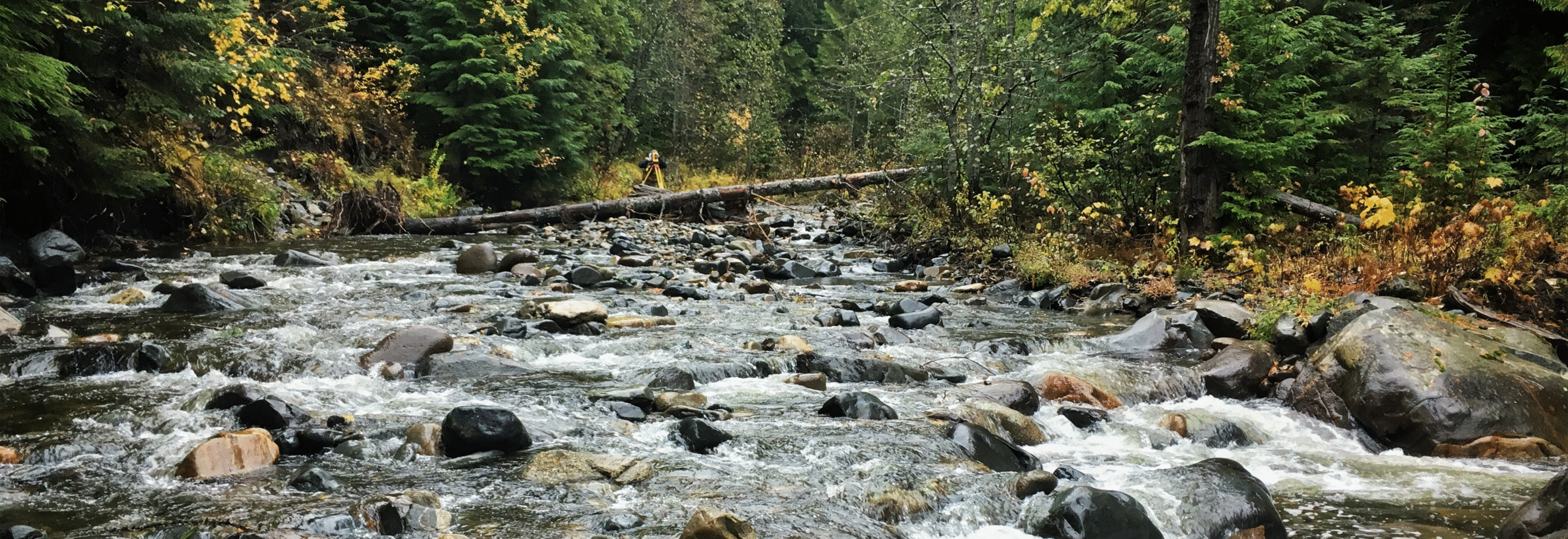
The best decisions start with data that is accurate, up-to-date, and readily available at the project team’s fingertips.
For questions or further information, please fill out the form below.


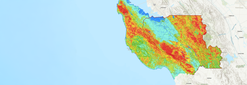
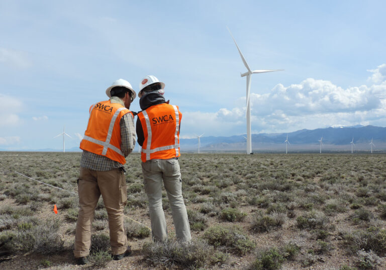
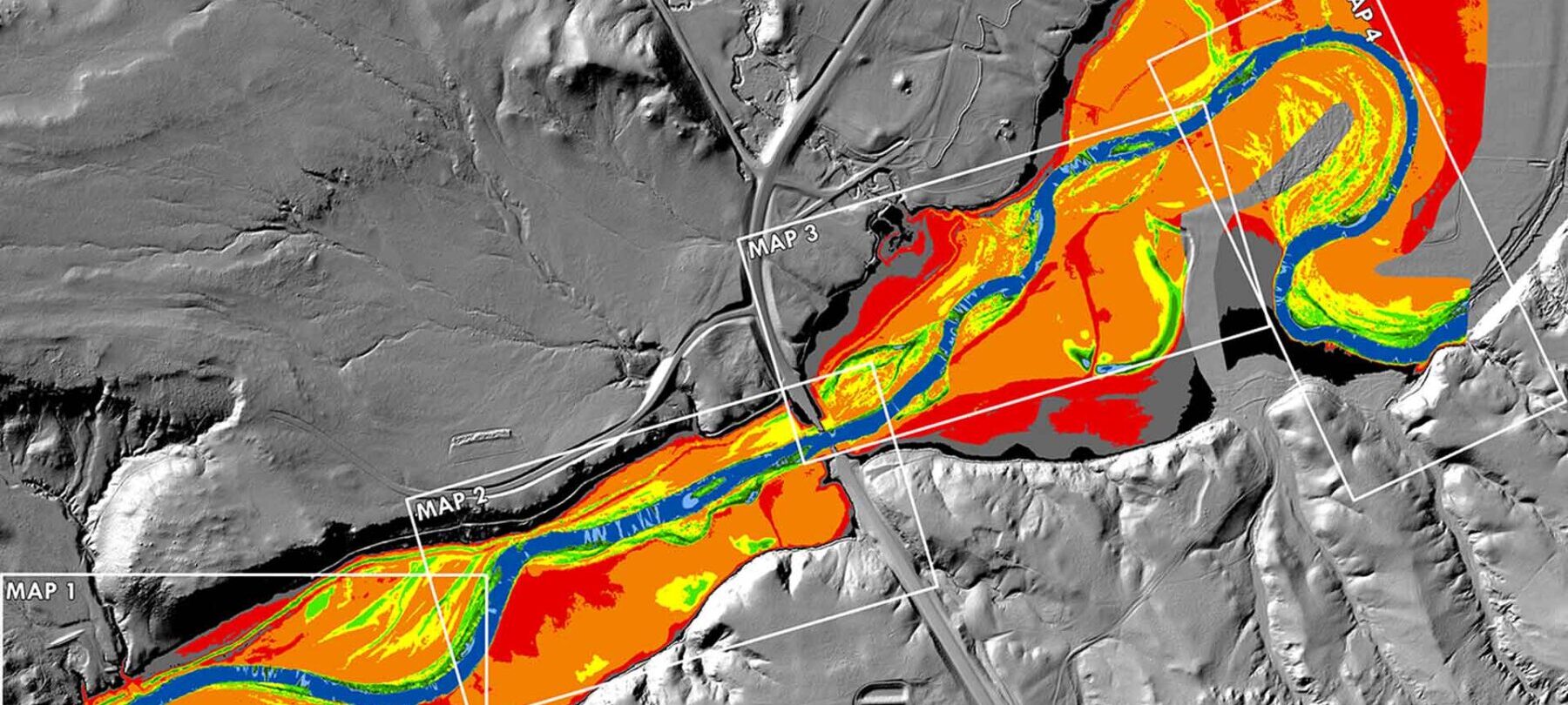
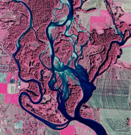
SWCA’s GIS and geospatial services deliver advanced solutions that empower clients with precise and actionable insights. Our team of experts harnesses state-of-the-art geospatial technologies and tools to collect, analyze, and visualize spatial data, facilitating informed decision-making across diverse projects. By seamlessly integrating GIS with environmental science, we provide comprehensive mapping and spatial analysis that enhance project planning, resource management, and environmental assessments.
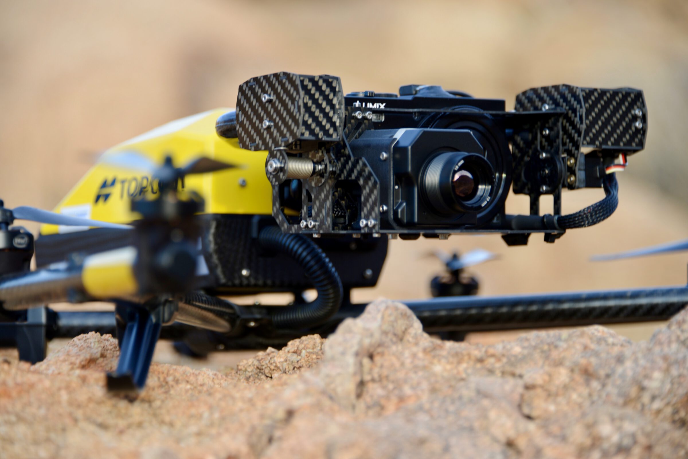
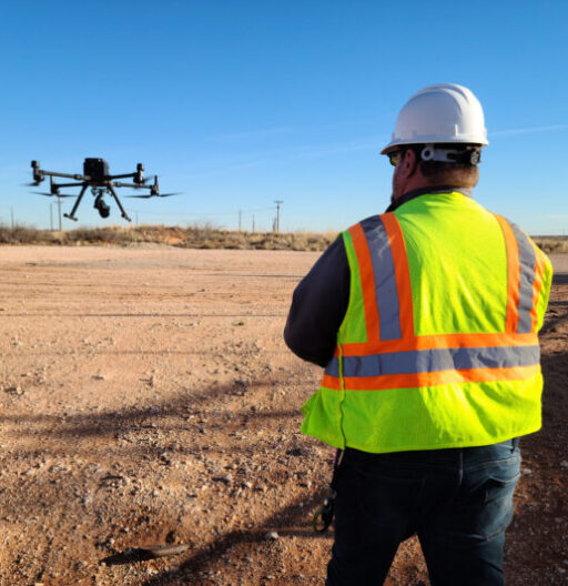
Our data acquisition services are designed to streamline the collection and management of environmental data. We employ a combination of traditional methods and modern technologies, such as remote sensing and drone surveys, to gather accurate and comprehensive datasets. This data-driven strategy supports clients in achieving regulatory compliance, optimizing resource allocation, and enhancing project outcomes.
Focused on people, clients, processes, and tailored technology strategies for any project around the world, SWCA is a trusted partner to our clients. From improving efficiencies and process, to developing focused solutions to better manage project efforts, our team is ready to help.
There is no one size fits all when it comes to project-based sensor, deployment, and information delivery options. For SWCA, working from the “Data-Up” is a holistic problem-solving approach that begins with listening to client concerns and the science surrounding their projects so pain points and data blind-spots can be identified.
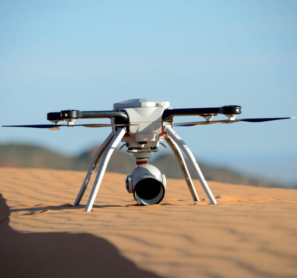
We actively capture and fuse relevant project data in near real time employing a myriad of sensors (payloads/cameras) using robots operating from land, sea, air, and space. Every project is different, and our data acquisition planners are committed to the development of solutions tailored to each client.
SWC.ai, our Digital Geospatial Visual Intelligence & Data Fusion Platform, leverages a powerful AI engine driving the rapid rendering of granular actionable intelligence from massive multi-terabyte datasets. SWC.ai is an interactive portal to strategic digital information where clients can intuitively view, analyze, annotate, report, share, download, and render critical intelligence in support of key project decisions and reporting.
SWCA’s enterprise geographic information system (GIS) platform, including web and mobile services, enables secure data sharing across the organization in real time, allowing managers to remotely monitor fieldwork results and helping decision-makers respond quickly to new information. Clients no longer have to guess or imagine how the finished project site will look. With spatial modeling tools that simulate real-world conditions, SWCA can accurately “predict” the visual aspect of project outcomes.
With an integrated team of geospatial data and information technology professionals, our comprehensive services include GIS, GPS, database management, and custom web and mobile application development. In addition to the use of industry-standard software platforms, SWCA leverages the latest commercial and open-source development tools for the web, Android and iOS devices to develop custom applications to support project needs.
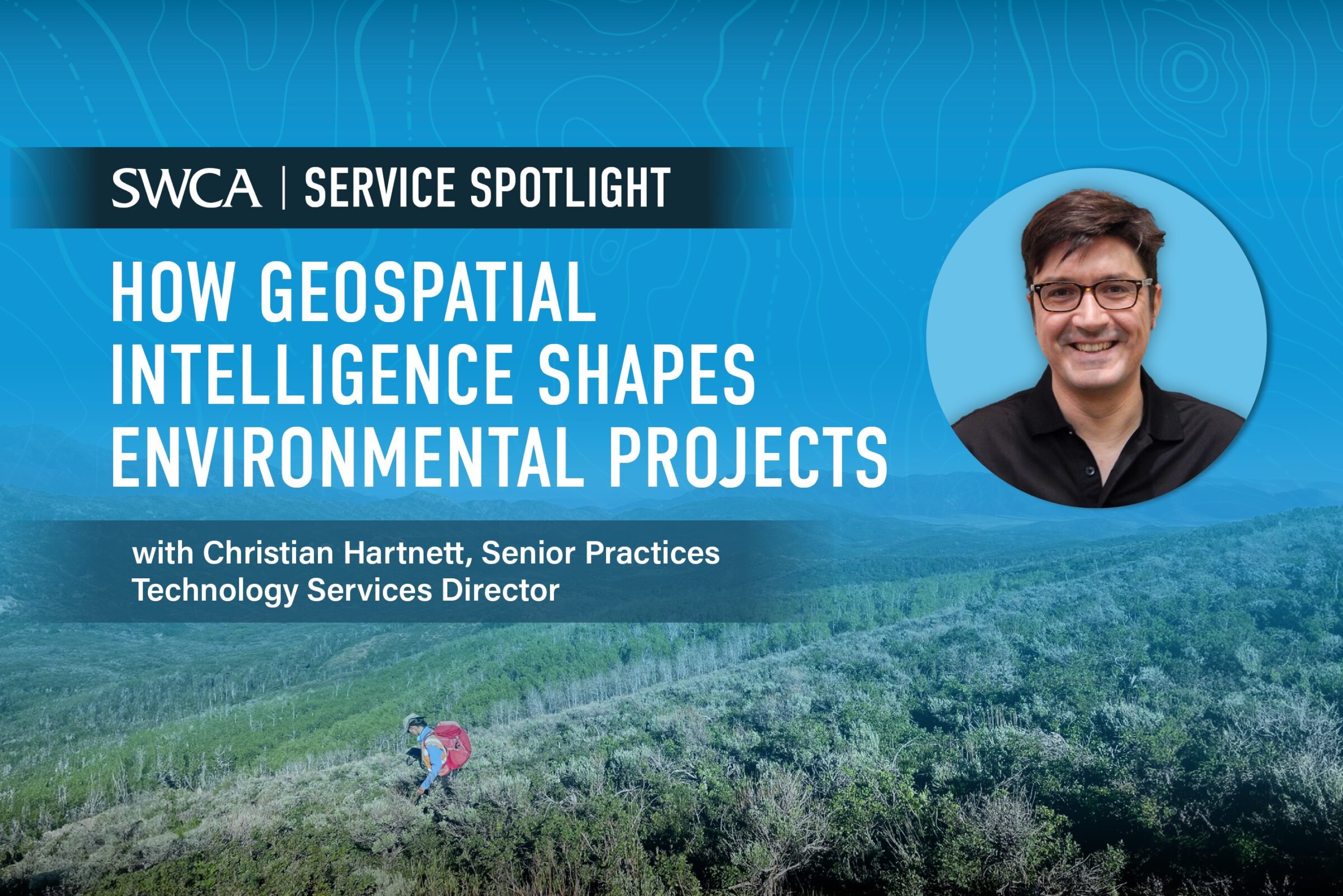
Christian has been with SWCA for 13 years and oversees SWCA’s centralized geospatial, UAV/drone, remote sensing, satellite, and field data collection products and services.

Locke is SWCA’s Vice President of Technology and Data Solutions. He oversees the Business Solutions/ERP operations and planning team, collaboration software team, custom software development, and data science teams.

Jennifer leads virtual public involvement for SWCA’s Technology Solutions team. She leverages engagement strategies and web development to support project communications needs for a wide range of clients.

Merlin is a certified wildlife biologist and licensed aerial drone pilot who who loves to teach others about nature and solve conflicts related to natural resources. He lives in Alaska and manages SWCA’s data acquisition program, supporting clients nationwide with cutting edge information collection and delivery technology.

Joshua uses spatial data science and geographic information systems to develop cutting-edge workflows. He uses the latest technology including artificial intelligence, spatial analysis, network analysis, the use of computer programming languages, and much more. He also develops and facilitates utility-scale renewable energy projects as a Land Development Specialist.
Joshua was also named the 2024 Second Quarter Lawrence S. Semo Scientific Achievement Award winner.

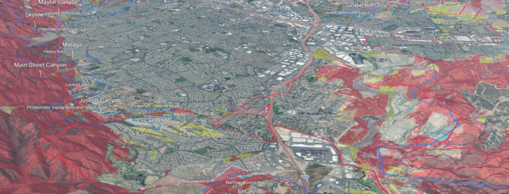
The power of location intelligence allows us to map features, visualize data and manage development.
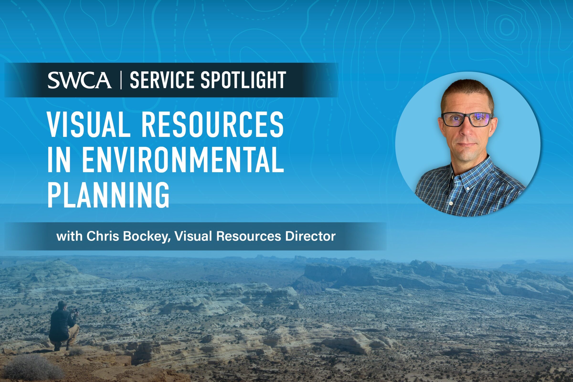
Chris Bockey explains how visual resources are an important aspect of environmental planning.
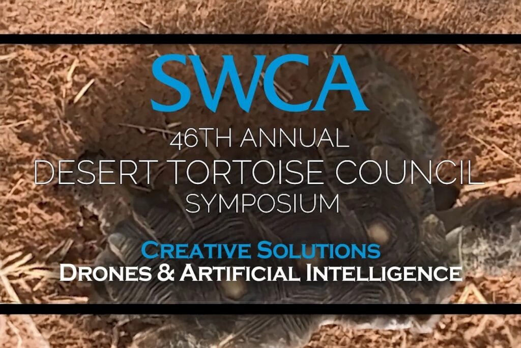
SWCA's growing Drone/AI data collection team is advancing projects like desert tortoise monitoring.
Subscribe to The Wire, SWCA’s quarterly newsletter that delivers the latest industry news, important regulatory updates, local events, and more straight to your inbox.